
Oak Creek Neighbor Sources
A block lookup combines public land geography with carefully limited name records. Milwaukee County's parcel layer shows which lots touch. Oak Creek Land Records supplies the selected parcel's tax and ownership fields. Plats link a lot to its subdivision and legal description. Historical directories give dated address leads, while city neighborhood labels and watch programs explain civic identity without exposing a member list.
| Source | Block fact supplied | Access route |
|---|---|---|
| MCLIO GIS parcel layer | Adjacent polygons, streets, municipal and ZIP context | Public map and identify tools |
| Oak Creek Land Records | Selected parcel, owner as displayed, tax data, legal description | Guest search by address, parcel, name, year, municipality |
| Register of Deeds plats | Lot, block, subdivision, and recorded legal relationships | Online keys vary by recording date; older book/page route |
| Historical directories | Dated address-to-name leads | Library print, microfilm, or microfiche |
| Neighborhood Watch and city labels | Published civic program and community-name context | City pages; no public member roster located |
| Wisconsin DFI HOA Search | Registered association-name and location leads | Public registry search, not a membership directory |
Ownership is not occupancy. A tax mailing address can point elsewhere, and a non-owner occupant may not appear in any property roll. Keep the lookup at parcel scale and date every result.
Map Oak Creek Neighbors
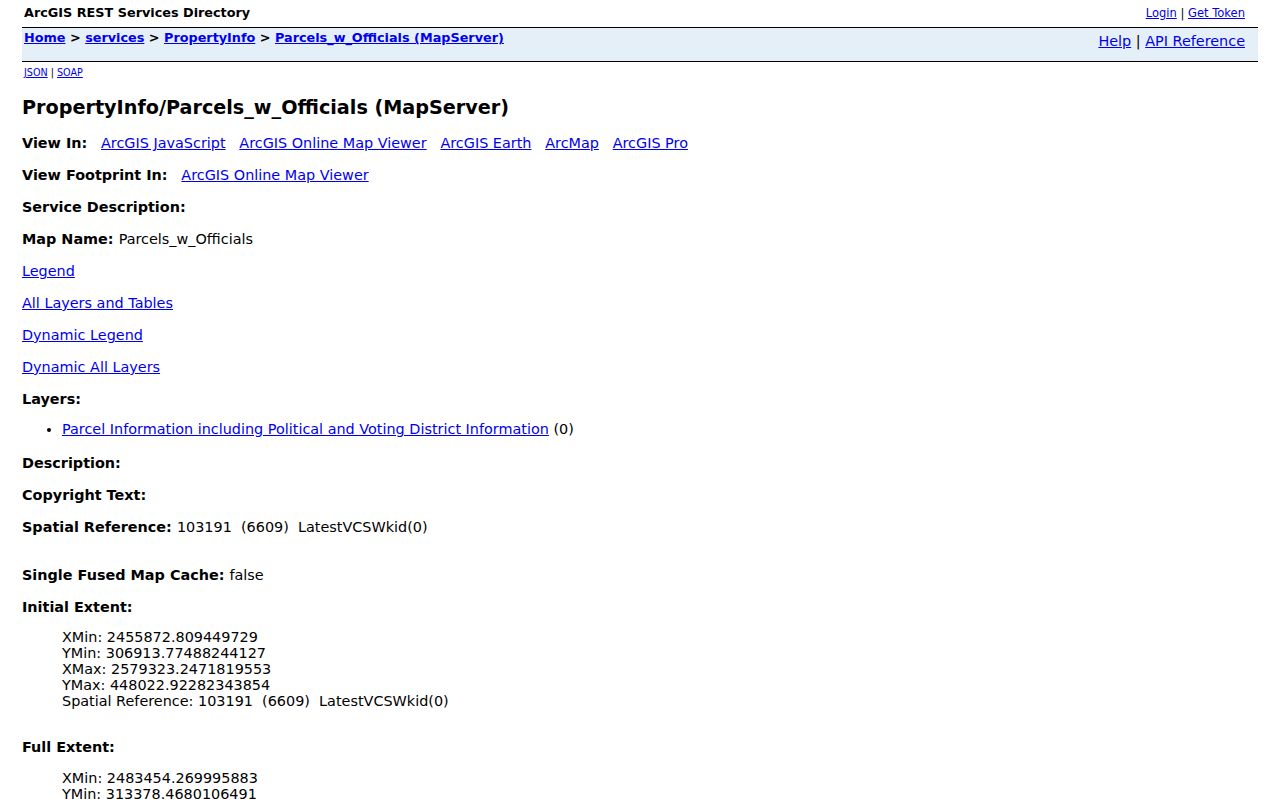
The Milwaukee County parcel REST service is the official map-layer endpoint captured for the project. Start with one known address, find its polygon, then inspect only the touching or immediately nearby parcels needed to understand the block.
- Normalize the house number and street, then locate the parcel in the county map.
- Record the anchor parcel number, municipality, street, and visible layer date.
- Click each adjoining polygon individually. Copy its parcel key without publishing a bulk owner list.
- Use Oak Creek Land Records to verify the selected parcel's displayed owner, legal description, and tax year.
- Move to the plat or deed only when the block relationship needs recorded support.
The flow is address to polygon to parcel key to tax record. It is not address to household roster. For a complete named-street chain, use the Oak Creek street directory.
The image below comes from the official county parcel-layer endpoint. It documents the available GIS service controls and layers rather than a private household.
Oak Creek Neighborhood Labels
An official city survey and meeting document names Carollville, Cedar Hills, Chapel Hills, Edgewood, Forest Hills, Greenwood, Lakeview, Manor Marquette, Meadowview, Northbranch, Oak Creek Manor, Oak Leaf, Oak Park, Oakview, Oakwood Manor, Prairie View, Shepard Hills, South Hills, Willow Heights, Woodknoll, and Woodridge. These are source-specific community labels. They are not proof that every named area has an incorporated association, officers, dues, or a current directory.
Map labels also change with the source. A ZIP area, aldermanic district, ward, subdivision, postal city, and neighborhood name can cover different shapes. Record the layer or document that supplied the label. Do not merge them into one boundary without official evidence.
That care matters at Oak Creek's edges. Franklin, Greenfield, South Milwaukee, and Caledonia are neighboring municipalities, not Oak Creek neighborhood associations. The parcel's municipality field resolves which government keeps its local records.
Oak Creek Neighborhood Watch
The Oak Creek Neighborhood Watch program gives residents a direct civic route for organizing a block. The Community Resource Bureau offers education, guidance, meetings, signs, materials, and a Dog Walker Watch option. It does not publish a directory of participants.
Community Resource Bureau
Phone: (414) 766-7624
Email: pdcommunityresource@oakcreekwi.gov
Purpose: watch formation, education, meetings, and program materials
Oak Creek City Clerk
8040 S. 6th Street
Oak Creek, WI 53154
Phone: (414) 766-7023
Purpose: municipal records and elections routing
Use the program contact to ask how a block can participate. Do not ask the bureau to disclose private member names or addresses.
Oak Creek Association Search
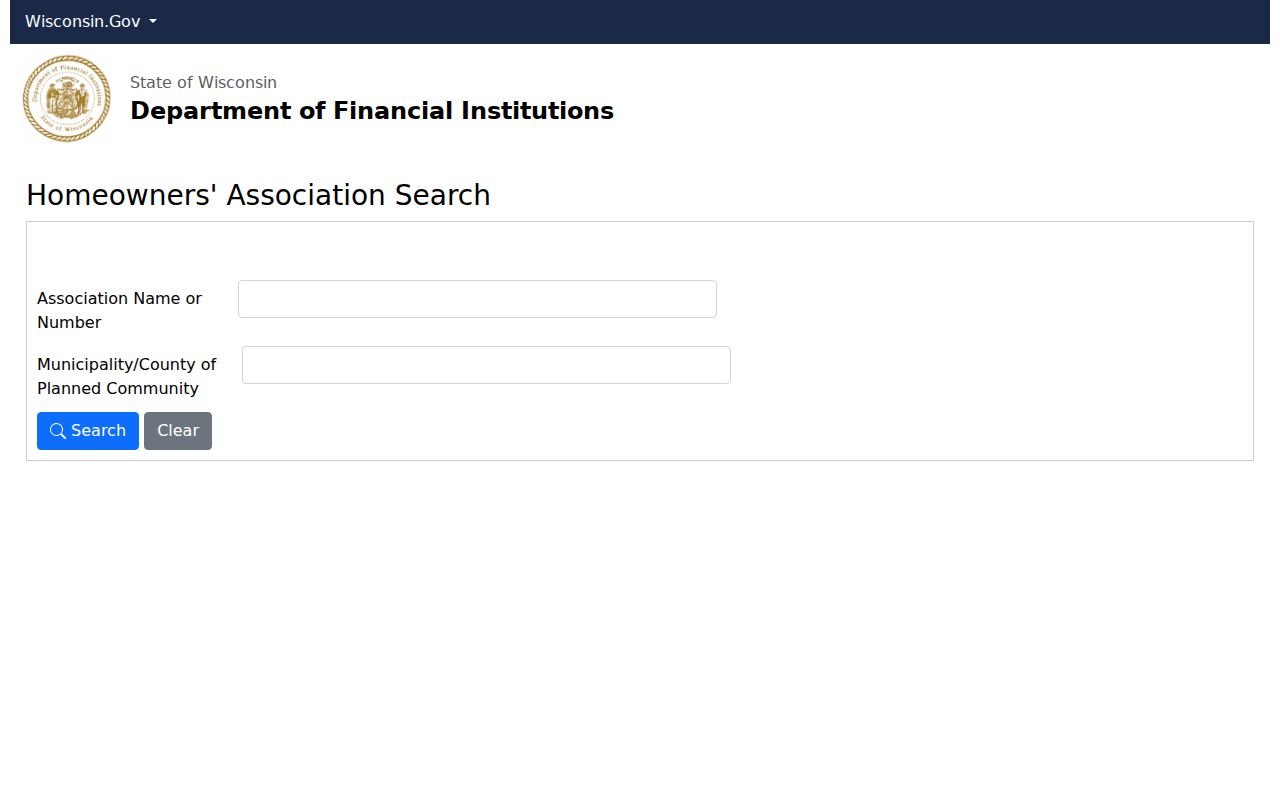
The Wisconsin DFI Homeowners Association Search can test whether a documented neighborhood or subdivision name has a registered association trail. Search by association name or number and narrow with municipality or county where the live form allows. A result can support the entity name and registry details. It does not reveal owners, residents, dues, officers beyond displayed public fields, or a private membership roster.
The registry capture shows the public search interface. It should be read as an association-finding tool, not as a list of Oak Creek neighbors.
Keep that last distinction. No result does not prove no association exists. The group may use a different legal name, remain unincorporated, or keep its records privately.
Oak Creek Blocks in Plats
A subdivision plat is a recorded map that divides land into lots, blocks, roads, and easements. The Milwaukee County Register of Deeds keeps the recorded route. Plats from 1835 through June 1991 use document, plat-book, and page keys; July 1991 forward has broader search access.
- Parcel
- A mapped unit of land with a tax or property key.
- Plat
- A recorded map that lays out lots, blocks, streets, and other legal features.
- Legal description
- The recorded words or references that identify land, which may use lot and block rather than a street address.
- Situs address
- The physical property location, distinct from the owner's tax-mailing destination.
If an address search fails, take the legal description from the parcel result and switch to the plat-book or document-number route. That can confirm why two Oak Creek parcels are adjacent without making any claim about the people inside them.
Oak Creek Voter Geography
MyVote Wisconsin is for a voter to retrieve their own registration with first name, last name, and date of birth. It can display registration, elections voted, officials, and ballot tools after identity selection. It is not a tool for typing a neighbor's address and listing the block.
Wisconsin registration lists are public subject to inspection rules and suppression of protected fields. Badger Voters handles a scoped public WisVote-data request through criteria, quote, payment, and download. Full dates of birth, Social Security numbers, ID numbers, protected addresses, and certain accommodation data remain withheld.
A voter record does not prove title or full household occupancy. It also does not show a ballot choice or party registration. Compare exact street formatting, municipality, ward, and file date before drawing a narrow civic conclusion.
Official Oak Creek Block Records
Commercial neighbor tools often combine stale addresses, purchased data, and unverified name matches. Official records are narrower, but each has a known custodian and purpose. The useful tradeoff is scope versus provenance.
| Source type | Strength | Limit |
|---|---|---|
| County GIS and city tax roll | Mapped parcels, municipality, displayed owner and dated tax fields | Does not list every occupant |
| Recorded plats and deeds | Legal land relationships and title instruments | Not a current household directory |
| Official voter-data route | Statutory public fields with a dated request process | Protected data is withheld; self-lookup differs from public files |
| Commercial compilation | May combine many sources quickly | Source dates, corrections, and identity matching may be unclear |
For Oak Creek neighbors, start with the official parcel map. Add only the record needed for the question, and preserve the source date.
Oak Creek's Community Geography
Oak Creek's own phrase, “Where City Meets the Country,” captures a geography shaped by Lake Michigan, the Milwaukee metropolitan edge, and former rural township land. That history helps explain why modern parcel, subdivision, postal, and neighborhood labels do not always line up.
For dated community evidence, the Oak Creek Public Library holds the Pictorial from February 1956 through November 2006, an obituary index for 1956 through 2007, yearbooks, and the Oak Creek Historical Society archival index. The Historical Society began in 1964 to preserve the original Town Hall and now maintains a six-building pioneer village. These sources can place a street, school, event, or group in time without turning an archival mention into current membership.
The research network continues through the Milwaukee County Historical Society, UWM Libraries, Wisconsin Historical Society, and Milwaukee Public Library. Ask for a finding aid or dated item when the local index supplies only a lead.
Limits on Oak Creek Neighbor Lookups
No official source located here lists every household member, non-owner occupant, utility customer, delivery recipient, protected voter, or watch participant on an Oak Creek block. A missing name may reflect source scope, an old record, different address formatting, or a legal privacy protection. It is not proof that the person is absent.
Wisconsin's Safe at Home program can provide an assigned address and protect an actual address through required procedures. Never try to work around that protection. Code and preservation records also describe city processes, not a person's conduct or current occupancy.
Lawful use. Use neighbor records for civic curiosity, reconnecting, block history, and personal safety. Never use a result to watch, harass, threaten, or intimidate anyone.
A sound block record stays modest: source, date, jurisdiction, parcel or document key, and the limited fact shown. Verify it with the custodian before relying on it.